Hikes and Viewpoints Around Puerto Vallarta
Where the Sierra Madre meets the sea: the lookout above downtown, the coastal trail to Las Ánimas and the waterfalls, and how to do them safely.
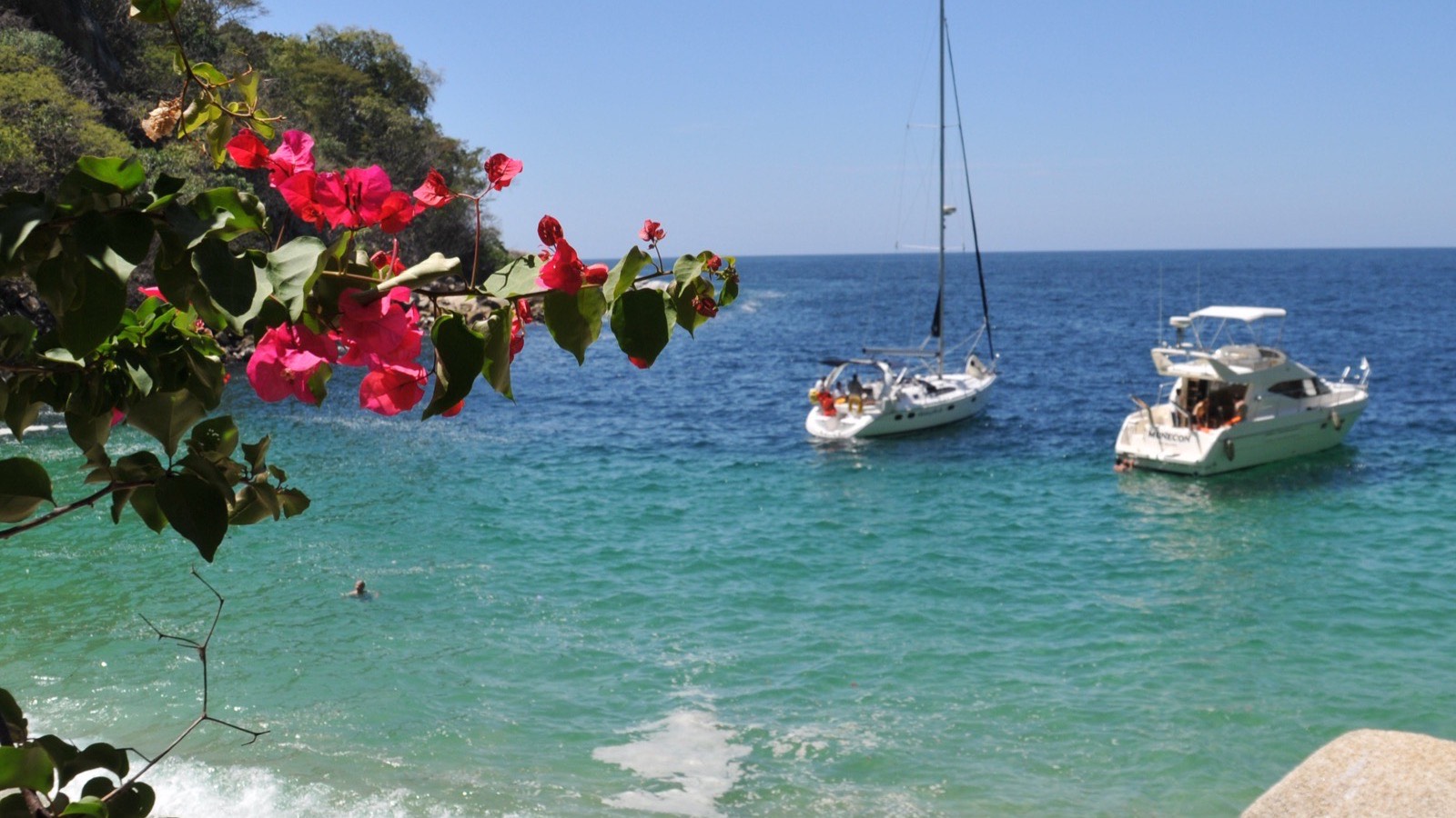

Puerto Vallarta is squeezed between Banderas Bay and the Sierra Madre, so you don't have to go far to get above the rooftops or into the jungle. None of the walks below is long, but heat and humidity make them harder than the distances suggest. Here's what each one involves, based on official and recent local sources, and what to know before you set off.
At a glance
| Walk | Start | Distance and time | Good to know |
|---|---|---|---|
| Mirador Cerro de la Cruz | Calle Abasolo, from the Malecón | About 500 m to the base, then stairs; 15–30 minutes up | Free; steep; the classic view over the city |
| Boca de Tomatlán to Las Ánimas | Boca de Tomatlán, 20 minutes south by road | 4.7 km; 1.5–2 hours one way | Water taxi back |
| On to Quimixto | Las Ánimas | 8.1 km from Boca in all | Waterfall a mile inland |
| Palo María waterfall | Highway 200, by the Palo María bridge | 30–60 minutes to the first pool | Free, but a frequent rescue spot; never in rain |
| Isla Río Cuale | Downtown, by the river | An easy stroll | Shade, footbridges, birds |
| Monkey Mountain | Higuera Blanca, near Punta Mita | About 7 km return; 1–1.5 hours up | Steep and rocky; start early |
Mirador Cerro de la Cruz
The lookout under the white cross on the hill above downtown gives the classic view over the city: the Malecón, the crowned church and the whole curve of the bay. From the Malecón, walk up Calle Abasolo, the most direct route, or Calle Josefa Ortiz de Domínguez. It's about 500 metres to the base, up steep streets, then stairs with railings and benches added in 2016. Most people take 15 to 30 minutes. It's free, there's no vehicle access, and it isn't suitable for wheelchairs or anyone with limited mobility.
A small funicular opened in 2018 for part of the climb, but its service has been irregular. In 2025 the state set aside more than MXN 18 million to restore the site, including the funicular, and the city ran a clean-up and maintenance programme in spring 2026. Go early in the morning or for sunset, and take water.
The coastal trail: Boca de Tomatlán to Las Ánimas
South of the city, where the road turns inland, a footpath carries on along the coast past a string of coves. It starts at Boca de Tomatlán, about 20 minutes south of town on Highway 200. The buses marked "Boca" leave from the corner of Basilio Badillo and Constitución in Old Town; see buses.
- Distances (the city's figures for its 2026 trail project): Colomitos 2.2 km, Las Ánimas 4.7 km, Madagascar 6.3 km and Quimixto 8.1 km.
- Effort: 1.5 to 2 hours to Las Ánimas, moderately challenging, with rocky stretches, loose ground and short climbs between the coves.
- Getting back: take a water taxi from Las Ánimas to Boca. Check the fare and the time of the last boat before you start walking.
- Quimixto: its waterfall, on the La Puerta river, is just over a mile inland from the beach, on foot or on horseback, with a restaurant at the falls.
- What's coming: the city has budgeted for signs, a tourist information point and parking at the trailhead from 2026.
Palo María waterfall
The nearest waterfall to town is a series of pools up a stream on the jungle side of Highway 200, between Conchas Chinas and Mismaloya. The path starts beside the Palo María bridge, and the first pool is 30 to 60 minutes' walk. It's free, with no facilities.
It is also the area's most frequent rescue site. There was a fatal landslide in 2020 and a fatal fall in 2024. In July 2025 eight tourists were trapped by a sudden rise in the water, and there were further rescues in December 2025 and September 2026, mostly at the upper cascades. Puerto Vallarta's Civil Protection treats it as a recurring risk zone. If you go:
- Never in rain, or straight after it: the stream can rise fast.
- Never alone, and with a guide if you're unsure of the way.
- Wear proper shoes, carry enough water, and don't drink alcohol before hiking or swimming.
- Don't climb to the upper cascades without equipment or experience.
For waterfalls with an easier approach, see Yelapa, reached by boat, or the river trails at the botanical garden.
Isla Río Cuale: the easy one
For shade without effort, walk the island in the Cuale river between downtown and Zona Romántica. It covers a little over two hectares, linked to both banks by road bridges and footbridges. Paths pass a cultural centre and craft stalls, and the river attracts birds and iguanas. The state has funded new walkways and erosion work for 2026.
Further afield: Monkey Mountain
Up the coast in Riviera Nayarit, Cerro del Mono, about 350 metres high, stands behind the village of Higuera Blanca, near Punta Mita. The round trip is about 7 km on a steep, rocky path, and the climb takes 1 to 1.5 hours. In the hot months, start before sunrise and carry a head torch. The reward is a wide view over the coast.
Before you go
- Season: the dry months, November to April, are the time to hike. In the rainy season, June to October, trails turn slippery and stream beds can flood suddenly. Civil Protection's advice is never to cross a stream or flooded ground on foot. See the weather guide.
- Heat: local authorities advise sunscreen, a hat, plenty of water and limiting time in direct sun. In summer 2026 the heat index reached 42°C.
- Emergencies: call 911.
- Scorpions: stings are common in Jalisco. If you're stung, go straight to a health centre, where antivenom is free.
- Tell someone your plan, carry cash for the boat back, and keep an eye on the time so you're out before dark. For general safety, see is Puerto Vallarta safe?
Latest articles
Scuba Diving in Puerto Vallarta
Walls, pinnacles and giant mantas: the dive sites of Banderas Bay, when to go, and what to know before you…
Read →
Swimming with Dolphins in Puerto Vallarta
What the dolphin programmes involve, what Mexico's 2025 law changed, and how to see dolphins in the wild…
Read →
Surfing Near Puerto Vallarta
The waves aren't in town: they're at Punta de Mita and Sayulita, 40 minutes to an hour up the coast. Where to…
Read →