Banderas Bay
Mountains, a deep sea canyon, islands and a river delta: the landscape that shapes Puerto Vallarta, and where to see it.
.jpg)
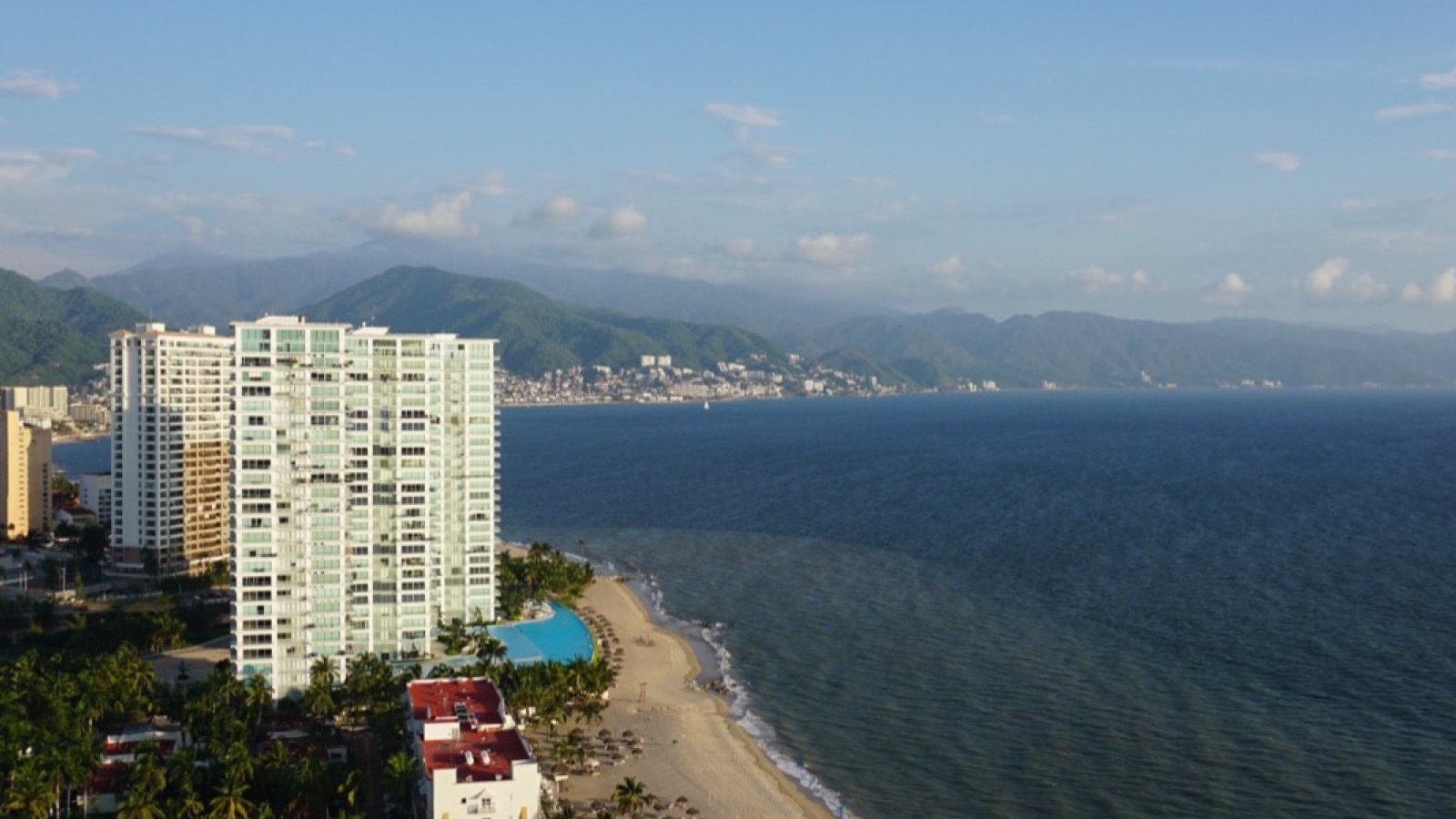
Puerto Vallarta sits on the eastern shore of Banderas Bay (Bahía de Banderas), one of the largest and deepest bays on Mexico's Pacific coast. Its shape explains a lot about the place: why humpback whales come every winter, why the road south stops at Boca de Tomatlán, and why the beaches north of the city are long and flat while the south is all coves and cliffs.
The bay in numbers
| Size | About 40 km long, with an area of more than 1,000 km²; one survey puts it at about 1,400 km² |
|---|---|
| Coastline | About 115 km, from Punta de Mita in the north to Cabo Corrientes in the south |
| Depth | Around 300 m on average, and 1,436 m at the bottom of a submarine canyon off Yelapa |
| States | Jalisco (Puerto Vallarta and Cabo Corrientes) and Nayarit (Bahía de Banderas), divided by the Ameca river |
| Islands | The Marietas, a national park since 2005, and Los Arcos, a marine refuge since 1975 |
A shallow north and a deep south
The two halves of the bay are very different. In the north, the seabed is a flat platform 90 to 190 metres deep, with the Marietas Islands sitting on it. The Ameca river brings down the sediment that builds the long, gently sloping beaches of Nuevo Vallarta and Bucerías.
In the south, the mountains drop almost straight into deep water. A submarine canyon runs close to the shore, with near-vertical walls, and reaches 1,436 metres off Yelapa. Counting the slopes above and below sea level, these cliffs are more than 2,000 metres high. The coastal strip is only a few metres wide in places, which is why the road gives out at Boca de Tomatlán and the south shore is reached by boat.
The mountains
Four ranges ring the bay: the Sierra Vallejo in the north, the Sierra El Cuale to the east, and the Sierra El Tuito and Sierra Lagunillas to the south, the last two close to 2,000 metres. Locally they are often all called the Sierra Madre. Within Puerto Vallarta's own municipality, the land climbs from the sea to 2,200 metres.
The lower slopes are covered in tropical forest that drops many of its leaves in the dry season. Oak and pine-oak forest starts at about 450 metres, the lowest in Jalisco, and there's a pocket of cloud forest some 25 km north-east of the city. That's why the hills change colour through the year: grey-brown by the end of the dry season, then a deep green within weeks of the first rains. See the weather guide for when that happens.
Rivers and wetlands
The Ameca, joined by the Mascota, flows into the middle of the bay and marks the border between Jalisco and Nayarit. Smaller rivers come down from the hills all along the shore, among them the Pitillal, the Cuale, which runs through the centre of town, the Mismaloya and the Palo María.
The Ameca's delta, the Valle de Banderas, holds the bay's three largest wetlands: the El Salado estuary, Laguna El Quelele and Boca de Tomates. El Salado, next to Marina Vallarta, has been a protected conservation area since 2000, much of it mangrove. American crocodiles live in El Salado and around Boca de Tomates, where the city's turtle camp is.
The wildlife it supports
- Humpback whales arrive from the north each winter to give birth and raise their calves in the warm water. The official watching season runs from 8 December to 23 March, and the largest numbers of mothers with calves gather around the Marietas, where whale-watching boats aren't allowed. See whale watching.
- Seabirds: 92 bird species have been recorded on the Marietas, which hold the world's largest breeding colony of brown boobies, alongside blue-footed boobies.
- Sea turtles, mainly olive ridleys, nest on the beaches in the second half of the year.
- Jaguars still live in the Sierra de Vallejo. Camera traps identified 14 individuals in one study area, and in January 2024 the mountains and the Ameca valley became the Sierra de Vallejo–Río Ameca biosphere reserve, covering 225,398 hectares across both states.
Around the bay, south to north
- Yelapa, with no road, reached only by boat.
- Quimixto and Las Ánimas, coves reached by water taxi or the coastal trail.
- Boca de Tomatlán, where the road ends and the water taxis start.
- Mismaloya, where The Night of the Iguana was filmed in 1963, opposite Los Arcos.
- Puerto Vallarta, founded in 1851: Zona Romántica, downtown, the Hotel Zone and Marina Vallarta.
- Nuevo Vallarta, built on the Ameca delta, the first stop in Nayarit.
- Bucerías, with its long, flat beach.
- La Cruz de Huanacaxtle, with a large marina.
- Punta de Mita, the northern tip of the bay.
Where the name comes from
The story goes that when a Spanish expedition led by Francisco Cortés de San Buenaventura reached the valley in 1525, the people who met them carried small banners of coloured feathers. Between those and the Spaniards' own flags, the newcomers named it the Valle de Banderas, the valley of banners, and the bay took the name. It's an old account rather than a documented fact, but it's the one everyone tells.
Where to see it all
- From above: the Mirador Cerro de la Cruz, a short climb from the Malecón, looks across the whole curve of the bay. See hikes and viewpoints.
- From the shore: the Malecón at sunset, with the sun going down over the mouth of the bay.
- From the water: a boat trip across to the Marietas or down the south shore shows the contrast between the flat north and the mountainous south.
Latest articles
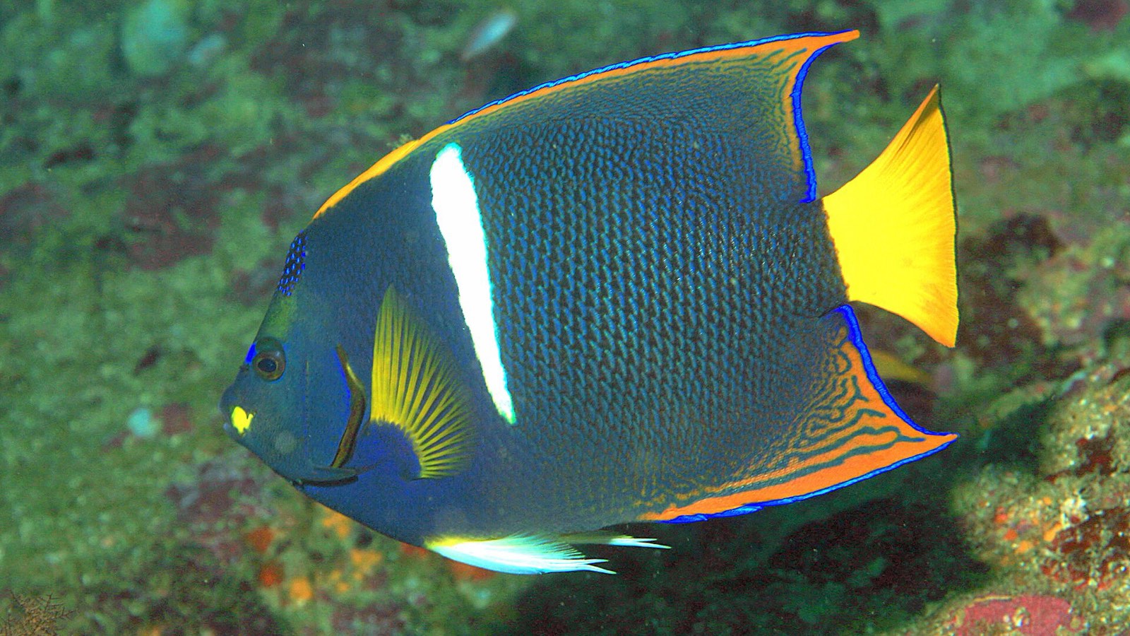
Scuba Diving in Puerto Vallarta
Walls, pinnacles and giant mantas: the dive sites of Banderas Bay, when to go, and what to know before you…
Read →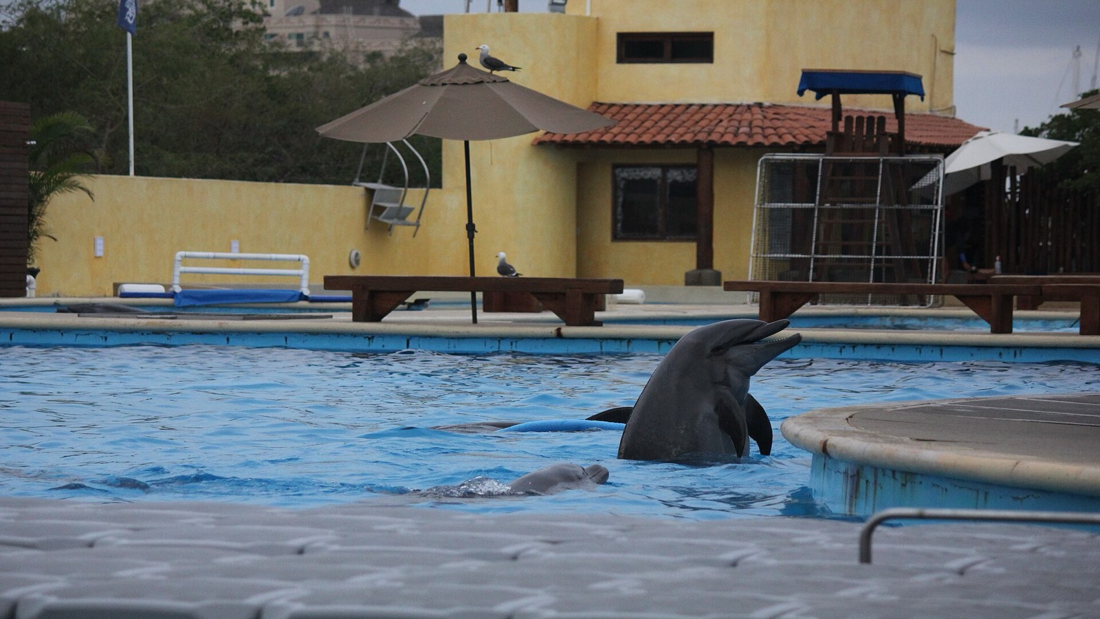
Swimming with Dolphins in Puerto Vallarta
What the dolphin programmes involve, what Mexico's 2025 law changed, and how to see dolphins in the wild…
Read →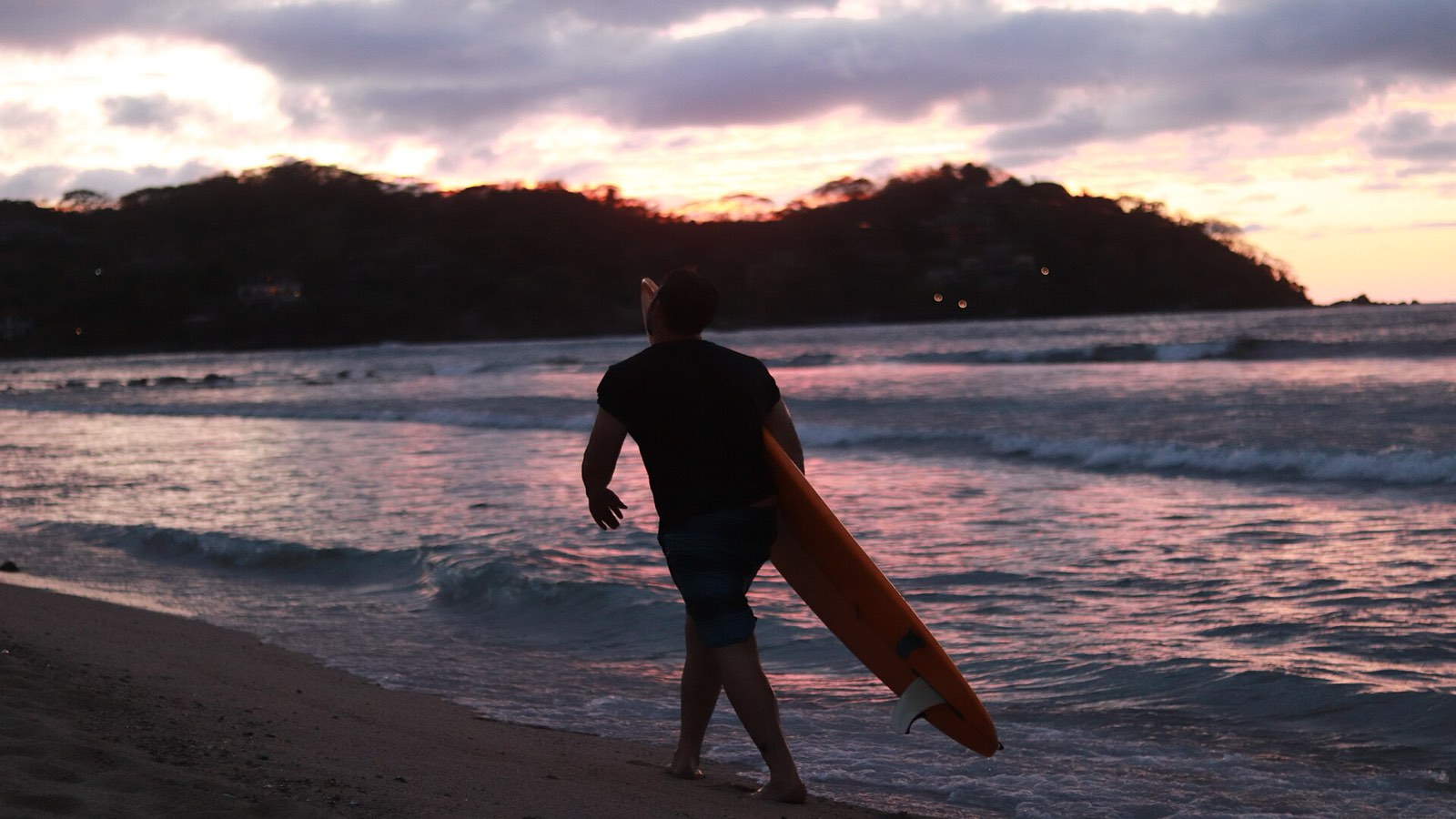
Surfing Near Puerto Vallarta
The waves aren't in town: they're at Punta de Mita and Sayulita, 40 minutes to an hour up the coast. Where to…
Read →